
 |
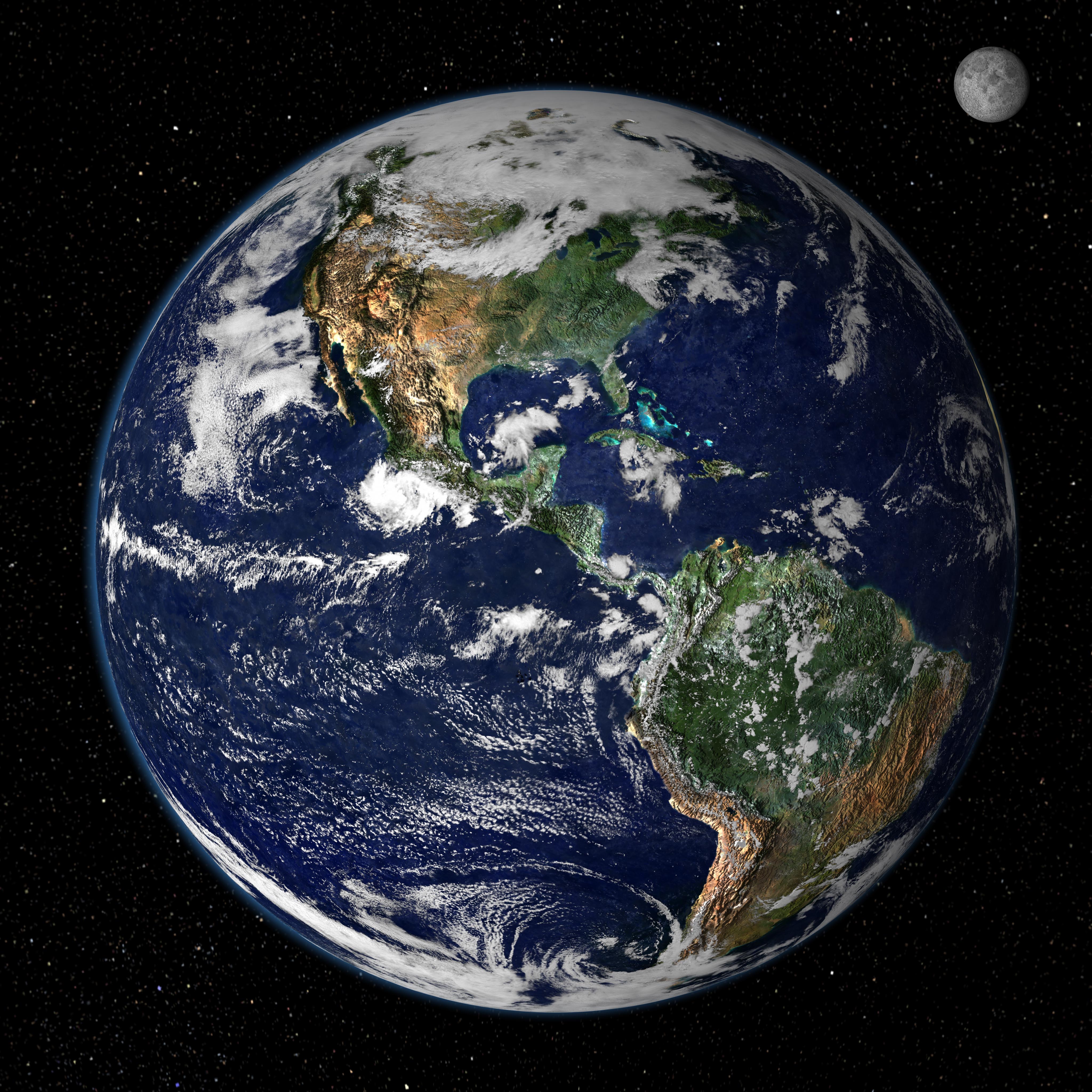
| Earth |
''Earth's continents are constantly in motion, and by running the tape forwards and backwards we can figure out where they were in the past – and where they might go in the future''
Science calls it "Pangaea Proxima". You might prefer to call it the Next Big Thing. A supercontinent is on its way that incorporates all of Earth's major landmasses, meaning you could walk from Australia to Alaska, or Patagonia to Scandinavia. But it will be about 250 million years in the making.
For Christopher Scotese at the University of Texas at Arlington, the fact that our continents are not stationary is tantalising. How were they arranged in the past – and how will they be positioned in the future?
"Fifty million years from now, Australia will be in collision with southeast Asia to a much larger degree," he says. Africa will also be pushing right up against southern Europe, while the Atlantic will be a far wider ocean than it is today.
However, he admits that projections for the period beyond 50 million years in the future – which include his Pangaea Proxima prediction – are "very speculative".
Earth's continents rest on a system of plates and these move at differing speeds. Some travel about 1.2in (30mm) per year while others might move at five times that rate. These are roughly the speeds at which human fingernails and hair grow, respectively.
These days, plate motion is tracked with satellite positioning instruments embedded into the ground. But we knew that plates moved long before such technology was invented. How? How did we ever realise that we were standing on huge, shifting plates, given that they move so slowly and are so massive?
The idea that the continents moved around dates back centuries, but the first time anyone produced any serious evidence in favour of the idea was 100 years ago. That someone was German geophysicist Alfred Wegener.
He noticed remarkable similarities between the fossilised plants and animals found on continents that were separated by vast oceans. This suggested to him that those continents were connected when those now fossilised species were alive.
What's more, when Wegener looked at his maps, he could clearly see that South America and Africa were like two giant puzzle pieces – they fit together. Could that really just be coincidence, or were they connected millions of years ago, only to drift apart?
That was the essence of Wegener's theory: continental drift. But few people liked it.
In fact, for many geologists, continental drift was a crackpot idea with little hard evidence. How exactly could massive continents move?
 |
| Africa and South America fit suspiciously neatly (Credit: Illustration Works/Alamy) |
Wegener could not provide a satisfactory explanation. He died in 1930. But his idea lived on, and 20 years later, his vindication would begin.
The crucial secrets that would unlock the truth of his theory were not to be found on those moving continents. They were all hidden under the sea.
Marie Tharp was one of the first people to realise that mountain ranges and huge valleys were not just features found on land, but under the oceans as well. In the early 1950s Tharp helped to map a gigantic submarine mountain range, thousands of kilometres long but only a few kilometres wide, zigzagging right down the middle of the Atlantic Ocean.
Similar ranges lie beneath the waves of other oceans. They have since been named "mid-ocean ridges" – and their discovery helped turn the tide of thought on how the Earth's surface had formed.
 |
| The ocean floor is dotted with mountain ranges (Credit: The Protected Art Archive/Alamy) |
Harry Hess, an American geologist and submarine commander in World War Two, recognised the potential significance of the mid-ocean ridges.
During the war, Hess had used sonar to map some areas of the ocean floor in detail. He had found it to be far from the flat, featureless landscape most geologists had assumed it to be.
The discovery of mid-ocean ridges fit with an idea he was developing – namely that the ocean floor is constantly, but very slowly, renewing itself.
He suggested that hot magma welled up along the mid-ocean ridges and cooled into rock. Then, as more hot magma welled up at the ridge, the cool rock was pushed down the ridge flanks to make room.
He suggested that hot magma welled up along the mid-ocean ridges and cooled into rock. Then, as more hot magma welled up at the ridge, the cool rock was pushed down the ridge flanks to make room.
This sideways movement of rock, perpendicular to the mid-ocean ridges, could ultimately explain why the continents themselves moved. They were being pushed around by the upwelling of magma along the mid-ocean ridges.
His theory became known as "seafloor spreading". But still, other geologists were sceptical. Other features under the sea were providing more clues, though, and gradually turning the tide of opinion in Hess's favour.
Many rocks on Earth contain magnetic minerals. Before these rocks solidified from magma, those minerals could spin around like tiny compass needles and align themselves with the Earth's magnetic field. Upon cooling, the "compass needles" became frozen in place.
Canadian geologist Lawrence Morley and British geologists Frederick Vine and Drummond Matthews realised that this alignment process provided more evidence for seafloor spreading.
Every so often the Earth's magnetic field flips: our compass needles would point towards Antarctica rather than the Arctic. That flipping process showed up in the rocks that make up the very fabric of the seabed. It was "striped", laid out in bars of normal and reverse polarity that lay parallel to the mid-ocean ridge.
 |
| Magnetic anomalies on the seabed (Credit: Universal Images Group North America LLC/Alamy) |
The best way to explain this was through seafloor spreading.
The magnetic minerals in hot lava at a mid-ocean ridge are aligned to the Earth's magnetic field, and then frozen when the lava cools. As rock is formed and then moves down the flanks and away from the ridge, it preserves a record of the changes in Earth's magnetic field over tens of thousands of years. The study of these records is called "palaeomagnetism".
The idea also explained why the stripes on each side of the ridge were generally exact mirror images of each other. Rock usually trundles away from both sides of the mid-ocean ridge at the same rate.
It was, simply, the best evidence yet of a driving force that could shift continents. Geologists now accept that Hess – and Wegener before him – were right to envisage Earth's geography as constantly in motion.
"It's like a big soup cauldron," says Susan Hough, a seismologist at the US Geological Survey in California. "The plates are like little bits of crust on top of the soup."
There are two layers in the Earth's crust and upper mantle that are described by this metaphor. The lithosphere – the hard, cooler part of the crust, including the plates themselves – and the asthenosphere, where molten rock moves up towards the lithosphere and sometimes breaks through at the mid-ocean ridges.
The ground under your feet is not as rock-solid as you might have thought. All of this convection and mechanical activity drives the motion of plates. They can bump into each other, slide past or shift away from each other. Some plates can even become buried, or "subducted", under neighbouring plates, "recycling" their rock back to the Earth's interior.
The plates are in a kind of eternal war, fighting for position on the face of the Earth.
We know that the plates have moved, but how can we actually plot their positions back through time? Scotese has produced animations showing what we believe to be the movements of the continents over the last 750 million years.
"It's sort of like a CSI investigation," he says. "You have to use all the evidence you can to tell the story because there's no eyewitnesses, there's no video cameras taking pictures."
Despite the challenge, Scotese says we can get 70 million years into the past with a good degree of confidence. That's because we can track the progress made by seafloor spreading quite accurately to work out where the continents used to be. But there are also different types of geological records that let us see even further back.
Scotese gives the example of ancient fossil coral reefs. Between 300 and 400 million years ago, what is now North Africa was crossing from polar to tropical latitudes.
"If you look carefully, you can see exactly when it crossed that boundary from being in the cold half of the hemisphere to the warm half," explains Scotese. "So coral reefs appear for the first time [in this region] and begin to grow on these carbonate platforms."
Indeed, the fossil record is a hugely significant area of evidence. This, of course, was what initially gave Wegener confidence in his ideas.
Take the example of Mesosaurus, a creature not dissimilar from today's crocodiles. It was a freshwater reptile with a long, powerful jaw, which lived between 270 and 300 million years.
Here is the weird part. Fossils of Mesosaurus are found, not just in South America, but Africa as well. It was a freshwater animal and could never have swum across the Atlantic Ocean to develop colonies on both continents. How did its fossils end up on either side of that vast ocean, then?
The answer is simple: 300 million years ago, there was no Atlantic. Those two continents were joined, and Mesosaurus never had to swim that distance.
In fact, when Mesosaurus was alive it was possible to walk between almost any two points on any two continents. All the landmasses were united in the supercontinent Pangaea – which is something Scotese expects to happen again about 250 million years from now when his "Pangaea Proxima" supercontinent forms.
The existence of the ancient Pangaea is recorded in the distribution of other fossils. Lystrosaurus, for example, was a giant herbivore. Its fossil remains are now found in Africa, India and even Antarctica.
Even the plant Glossopteris, a woody shrub that grew to 98ft (30m) in height, helps to confirm the idea that at one stage all of today's continents were jammed together as Pangaea.
Fossil evidence of Glossopteris has been discovered in South America, Africa, India, Antarctica and Australia. Importantly, the seeds of the plant were massive and could not have floated or been blown on the wind to other land masses. A supercontinent, on which the seeds could be dispersed via land, is thought to be the only credible explanation.
However, all these forms of evidence have their limitations. Beyond 300 million years ago, the ancient magnetic record becomes much more patchy, so it is difficult to find hard evidence of continental movements. And at 500 million years, says Scotese, the fossil record also becomes less detailed.
As for predicting what will happen in the future, Scotese does this first of all by looking at how the plates are moving today and then extrapolating that movement over time. This is the simplest way to develop a prediction. But, he adds, after many millions of years, there is no telling what geological events might cause unforeseen changes to that movement.
"In the plate tectonic world, plates do evolve slow and steady until we have one of these plate tectonic catastrophes like continental collisions," he says. "This fundamentally changes plate tectonic regimes."
Various statistical models help to provide a range of options for how the continents will be arranged more than 100 million years from now. But that is so far in the future, it is not clear to anyone how accurate these are.
Still, it is fun to speculate, and it helps reinforce the reality that the Earth is an active, dynamic planet – the very face of which keeps changing. Plate tectonics give us valleys and huge mountain ranges, earthquakes and continental boundaries. And there are still mysteries about how they work.
 |
| Mars seems to have had some tectonic activity (Credit: Dennis Hallinan/Alamy) |
Hough points out that we are still investigating exactly why the Tibetan plateau, which lies north of the Himalayas, is as high as it is.
Plus, our knowledge of plate tectonics on other planets is incredibly limited. Indeed, we have only recently found some evidence that suggests tectonics on Mars and Jupiter's moon, Europa.
"You get into some interesting questions," says Hough. "Like, is it a coincidence that we live on a tectonically-active planet, or was that somehow important for the emergence of life?"
For now we can only wonder. But plate tectonics have undoubtedly been significant for the development and dispersal of life on Earth. The secrets of the shifting ground beneath our feet have largely been revealed – and mostly within the last 50 years.
For a long time we thought there was little more stationary and stable than the Earth beneath us. But now we know that Wegener, in principle, was right. The continents really did move – and they have not stopped yet.
Source: BBC Earth
In 250 Million Years, Earth Might Only Have One Continent
![In 250 Million Years, Earth Might Only Have One Continent]() Reviewed by E.A Olatoye
on
August 01, 2016
Rating:
Reviewed by E.A Olatoye
on
August 01, 2016
Rating:


No comments:
Your comments and recommendations will be appreciated